
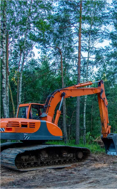
High Precision Excavator Guidance System for Forestry & Agriculture
Request a Free Quote
Get in touch with our specialists to optimize your heavy machinery operations.
Centimeter-Level Accuracy
High-precision GNSS positioning systems tailored for heavy equipment.
Maximize Productivity
Reduce rework, optimize fuel consumption, and speed up earthworks.
Global Support Team
Professional field engineers ready to assist with deployment, training, and configuration.
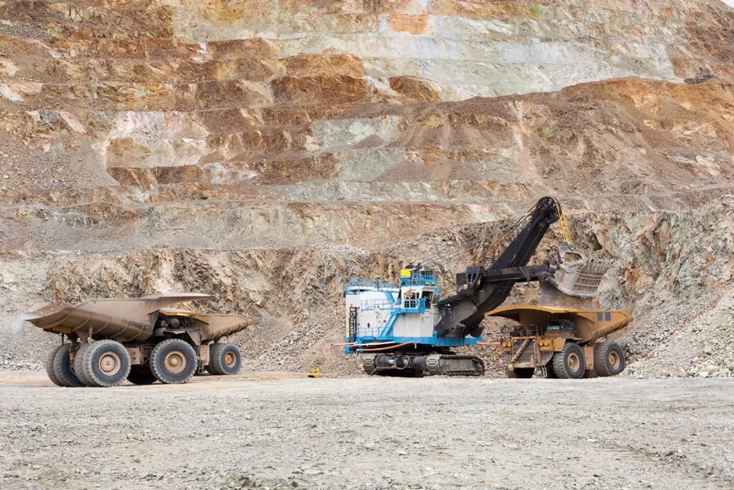
Heavy machinery operations in mining, construction, forestry, and agriculture have traditionally relied on manual methods. Without a high-precision excavator guidance system, tasks like trenching, road maintenance, harvesting, and land preparation lead to operational delays and high fuel costs.
Toho GPS Excavator Guidance System solves this by integrating dual-antenna GNSS and IMU sensors for real-time centimeter accuracy. This smart guidance allows operators to dig and grade perfectly on the first pass, maximizing productivity and workplace safety.
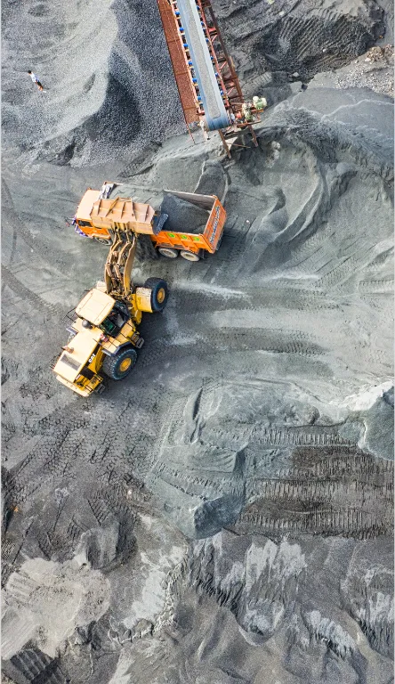
One Platform, Multi-Sector Solutions
Monitor movement and visualize tens of millions of field coordinate points dynamically. Our digital reporting interface is specifically designed to measure your operational productivity.
Precision Blasting & Slope Stability
Visualize asset movement, task lines, and point-based terrain insights across mining, construction, and plantation operations. One central platform maps operational points and workflows into a web dashboard for faster decision-making.
- Processes heavy map data formations stably
- Monitor fuel consumption vs. excavation targets
- Secure multi-tenant architecture between project areas
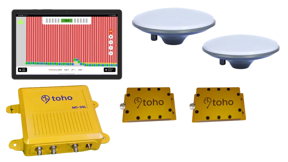
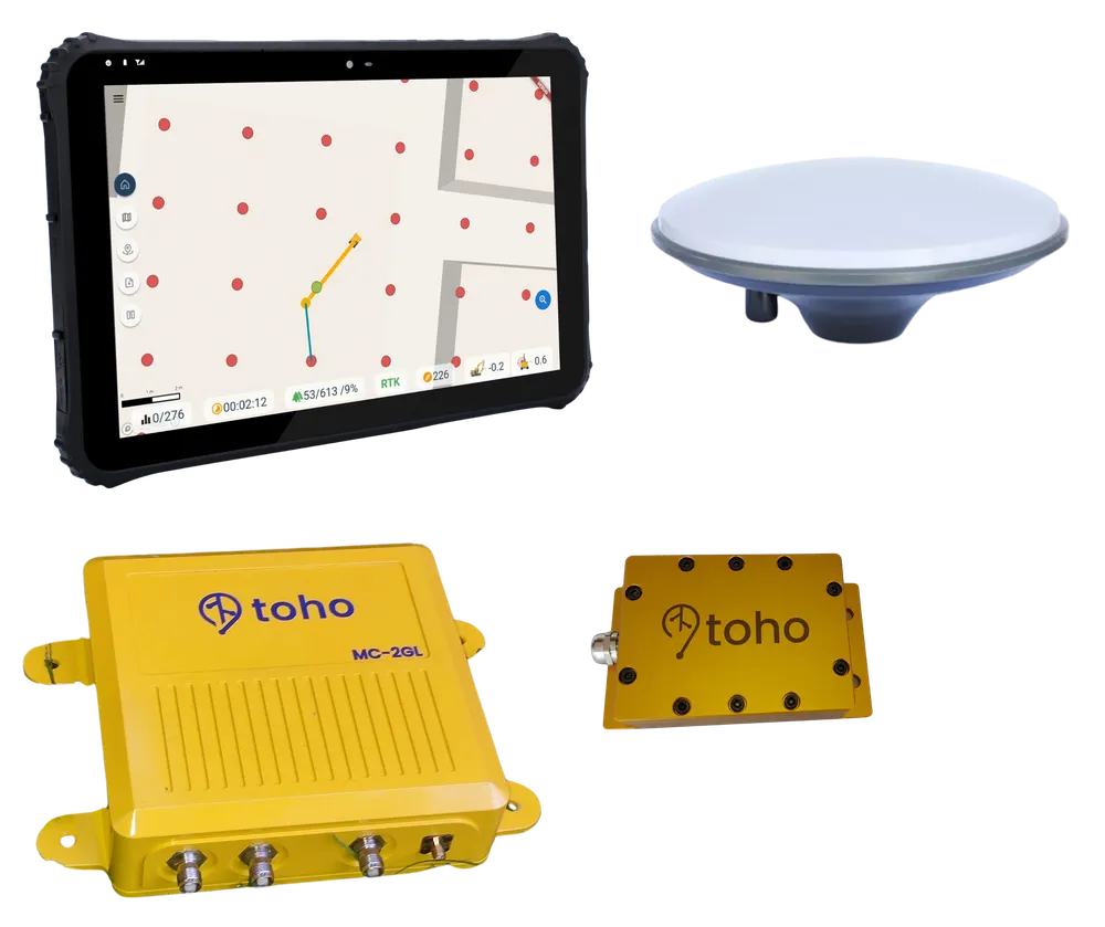
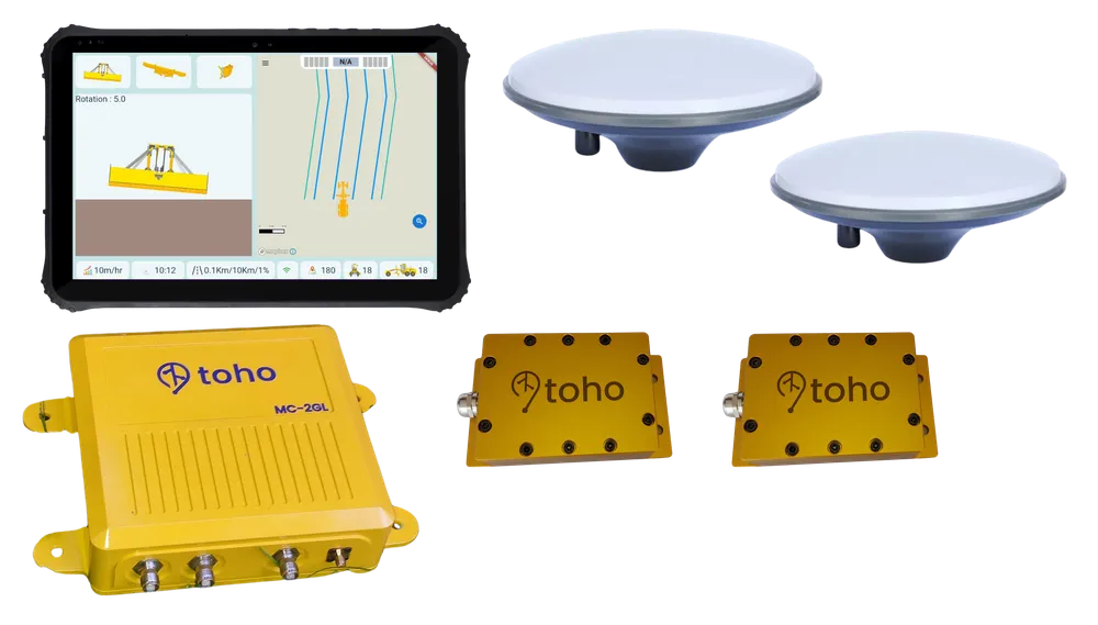
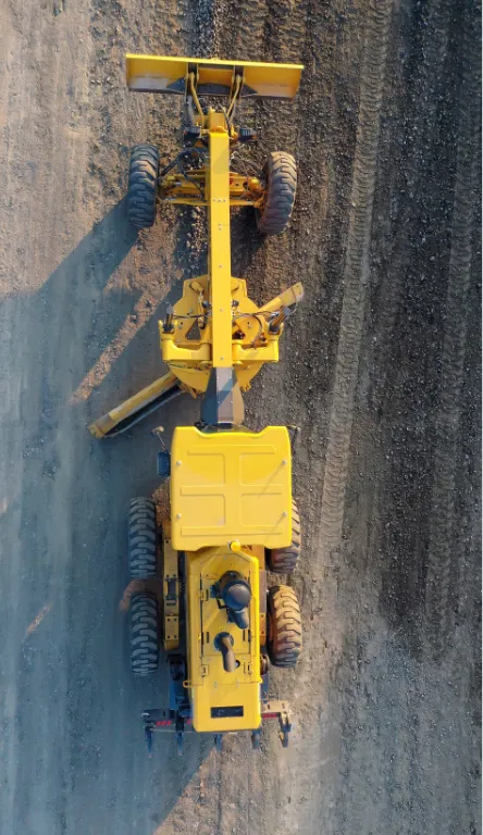
High Precision Systems & Hardware
Industrial-grade rugged hardware designed to work in extreme environments, detecting operational parameters in detail.
Ideal Guidance System for flat surface areas (2D). Significantly increases operator productivity for straight-line work.
- Accuracy up to 10 mm (open area)
- Standard 8-inch commercial tablet
Advanced Guidance System for sloped areas and complex topography. Fully integrated with IMU sensors.
- Slope compensation accuracy up to 20°
- 12-inch precision industrial tablet
Supplies RTK correction messages to Rover GNSS receivers to achieve centimeter-level accuracy even in the harshest environments.
- Radius up to 3 km (MAX BS)
- Supports GPS, GLONASS, Galileo, BeiDou
Deliver real-time GNSS correction data over IP for precision surveying and remote equipment guidance.
- Low latency streaming via 4G/5G or LAN
- Compatible with standard NTRIP clients
High-precision inertial sensors to measure bucket tilt angle & excavation depth in real-time, even on rough terrain.
- ±0.1° angle detection (6-axis)
- Vibration & harsh environment resistant
Transient surge protection system to protect electronic components and excavator control boards from damage.
- Extreme transient voltage clamp
- Safe & stable power distribution
Explore the full line of TOHO GPS products specifically designed for high-precision heavy equipment operations.
Why Enterprise Leaders Partner with TOHO GPS
We deliver robust, precision-engineered machine control solutions tailored for demanding remote operations.
Achieve up to 20 mm precision powered by differential RTK correction technology for straight lines and complex slopes.
IP67 waterproof rating, anodized aluminum frames, and heavy vibration-proof engineering built for extreme B2B operations.
Map coordinate logs and fuel consumption directly to our centralized digital dashboard for instant fleet reporting.
Comprehensive on-site hardware installation, custom sensor calibration, and dedicated operator training to eliminate downtime.
Industry Solutions
Explore high-precision solutions tailored to maximize efficiency and profitability across demanding industrial sectors.

Calculate Your Operational Savings Instantly
Drag the slider to estimate how much your business can save monthly by eliminating rework and material waste.
Your Est. Monthly Savings
Rp 29.290.625
*Based on the average plantation/construction operational cost reduction from Rp3,568,125 to Rp2,396,500 per Hectare.
Frequently Asked Questions
Find quick answers to common B2B procurement, technical integration, and system installation inquiries.